Data Intelligence (GIS)
Data Intelligence Service Offerings
We offer a full suite of technical services, including:
- Needs assessment, GIS implementation design, database design, maintenance, and quality control
- Custom application development, including desktop solutions and web-based solutions
- Data management
- Software and systems integration
- Website design and implementation
- Field data management (smart-forms, GPS/GNSS, mobile mapping, workflow optimization)
- Geospatial analysis
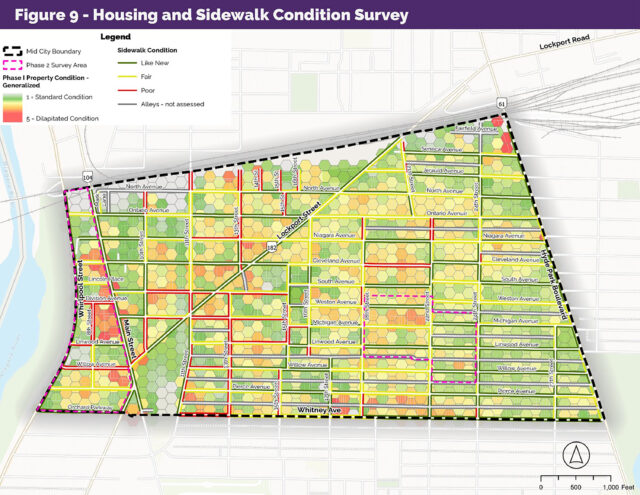
- Cartography, data visualization, and data analytics
- LiDAR and image processing
- GIS and IT project management
- Technical training
Our team utilizes technology to make the most out of your data
GIS Specific Offerings
Our team has decades of experience leading Geographic Information Systems (GIS)-based projects in a wide variety of circumstances and disciplines, including project design, database design, editing and maintenance, QA/QC, application development, cartography, and training.Technology Planning & Support
- System needs assessments and strategy
- System architecture, design, and configuration
- Implementation planning
- Ad-hoc technical assistance
- Enterprise data program management
Data Conversion
- Paper record conversion to digital spatial data
- Field data collection (GIS/GPS, Tablet-based collection)
Geographic Information Systems (Geospatial Data)
- Map production (mapping and cartography)
- Geospatial data analysis
- Geospatial data editing and maintenance
- Field data capture and support
- Geospatial data management programs
- Geospatial field data protocol development
- 3D and LiDAR data analysis (plume and visual analysis)
- ESRI ArcGIS application development
- Scripting support for automating geospatial tasks and analysis
- GIS training program design and Implementation
Meet the Experts
Recent Data Intelligence (GIS) insightsView all
Recent Data Intelligence (GIS) News View all


