
Lake Erie Beach Shoreline Management Solutions
Natural Disaster Leads to a More Resilient Shoreline
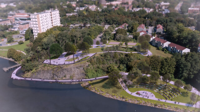
Lake Erie Beach Park is a 5.5-acre park located in Evans, NY, just 20 miles southwest of Buffalo, NY. It serves as a social and recreational hub for the Lake Erie Beach neighborhood and business district. The park includes approximately 900 feet of beachfront, as well as multiple recreational facilities and amenities. Muddy Creek runs along the southern edge of the park where it empties into Lake Erie. The beach area at the park is preserved by a concrete retaining wall that redirects the outlet of Muddy Creek to the west, diverting its natural path.
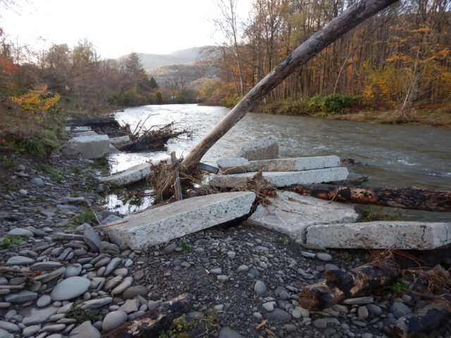
Historically, Lake Erie Beach Park and Muddy Creek have experienced issues with water quality, debris buildup, streambank and coastal erosion, and beach closures. In March of 2019, a large storm event deposited debris and sediment at the outlet of Muddy Creek, resulting in significant upstream flooding and damage to the park. This event highlighted the need for different management measures to be implemented along Muddy Creek and at Lake Erie Beach Park to create a more resilient shoreline.
As part of this project, LaBella conducted a study that focused on Muddy Creek as it traverses the Lake Erie Beach neighborhood, the interface of Muddy Creek and Lake Erie, and Lake Erie Beach Park. Our study included the following components to properly assess the best next steps:
- Historical Review: Reviewed historical data, including aerial photos and readily available historical documentation to review and document the various natural and man-made influences on Lake Erie Beach Park and Muddy Creek.
- Existing Conditions Survey: Teamed with J.M. Davidson Engineering to conduct a field evaluation of Muddy Creek, the outlet of Muddy Creek at Lake Erie, and Lake Erie Beach Park. This included documentation of erosion areas, stream channel widths, and bridge culverts.
- Examination of Environmental and Regulatory Compliance: Following historical and existing conditions reviews, our teams reviewed various requirements related to the Great Lakes shoreline management strategies and erosion control methods to develop a compliance blueprint for potential future management programs and projects.
- Identification of Best Management Practices: Reviewed previously constructed projects within the Great Lakes region and identified best management practices to reduce streambank and shoreline erosion, with a focus on management strategies and capital projects that would be applicable to Lake Erie Beach Park.
- Alternatives Analysis: Following review of best management practices, LaBella qualitatively evaluated potential effects and costs of implementing various management programs and capital projects along Muddy Creek, the Muddy Creek/Lake Erie Beach interface, and Lake Erie Beach Park.
- Stakeholder Committee: Along the way, LaBella presented each of the above reports to a stakeholder committee consisting of Town of Evans officials, NYSDEC, USACE, Erie County, and local residents and incorporated comments and feedback into each report.
Our final assessment included a robust action plan that included selecting remedies that aligned with best management practices, aimed to reduce flooding and erosion, and improved water quality within the study area. This action plan took into account input from the Town, stakeholder committee, and public. The recommendations of the final action plan included water quality monitoring; establishing a vegetative maintenance/debris removal program; acquisition of flood-prone properties; use of green infrastructure for stormwater; removing a retaining wall; establishing a “new” stream channel (along its historic flow path); establishing a sand dune, planted revetments, and berms; and reconfiguration of public entry to the beach, among other recommendations.
With a Final Action Plan in place, the Town can begin implementation. Depending on the availability of funding, the Town plans to begin implementing these recommendations in phases over the next 5-10 years.
An Award-Winning Project
Lake Erie Beach Shoreline Management Solutions Project Wins Gold Engineering Excellence Award from ACEC New York
In April 2025, the Town of Evans was awarded a Gold Engineering Excellence Award from the American Council of Engineering Companies of New York (ACEC New York) in the Studies, Research and Consulting Engineering Services category for the Lake Erie Beach Shoreline Management Solutions project.
The Engineering Excellence Awards honor design achievements of superior skill and ingenuity. Projects are judged on a rigorous set of criteria, including complexity, innovation, and value to society.


