City of Niagara Falls – Niagara Waterfront Opportunity Area Step 2 Nomination Plan
Master Planning in Historic Niagara Falls
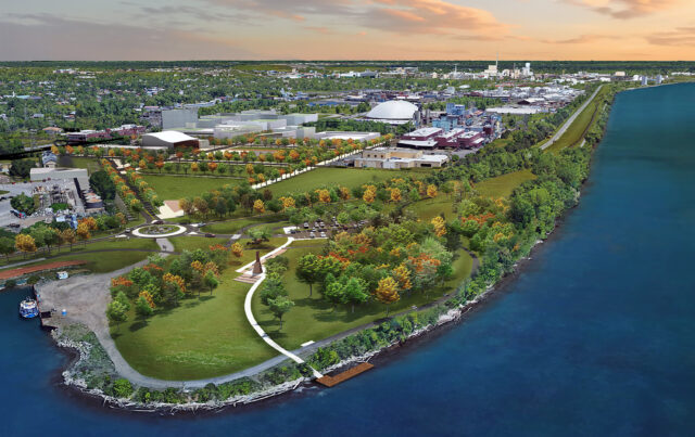
The City of Niagara Falls retained LaBella Associates to develop a market-driven, community-supported, master plan for approximately 1,881 acres in the City’s historic and still active industrial core between Downtown Niagara Falls and the Interstate 190.
The Niagara Waterfront Opportunity Area Master Plan includes five strategic redevelopment areas in in the southern section of the City of Niagara Falls along approximately three miles of Niagara River waterfront.
The plan incorporated the following overall strategies:
- Induce redevelopment of underutilized and vacant properties in the Buffalo Avenue Corridor
- Improve access to the Niagara River
- Focus on infrastructure improvements to drive economic development projects
- Provide opportunities for recreation and culture
- Connect the strategic sites to each other, the Niagara River, and residential neighborhoods with improved multi-modal connections
- Infill vacant and underutilized sites to create pedestrian oriented areas
- Recognize and build upon existing businesses and investment in the corridor
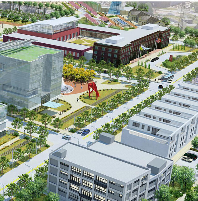
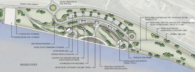
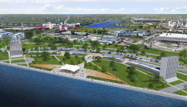
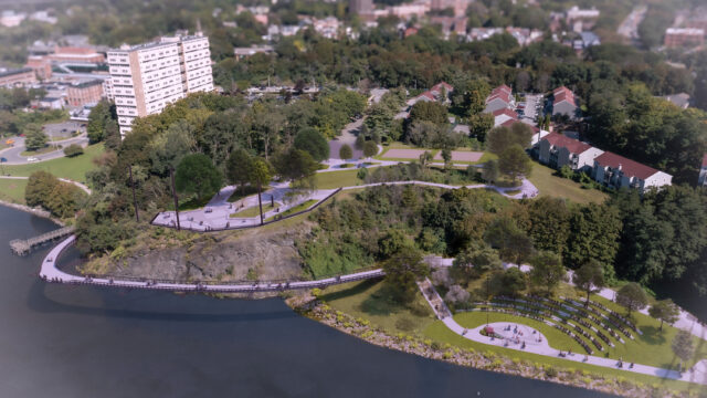
The five strategic sites focused on pedestrian oriented, mixed use development strategies that could be implemented in phases over time. Each plan was not only based on the market, but they were tailored to be aligned with funding opportunities. High quality graphics enhanced the plan and can be used by the city to drive development opportunities to the area.
