Mapping Services for Poughkeepsie Rural Cemetery
Modernizing Poughkeepsie Rural Cemetery With Digital Technology
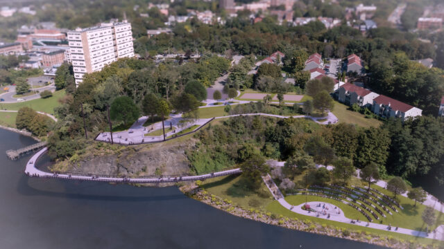
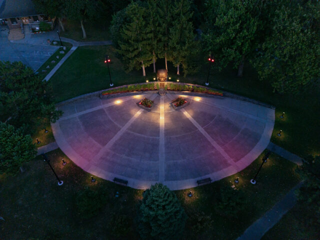
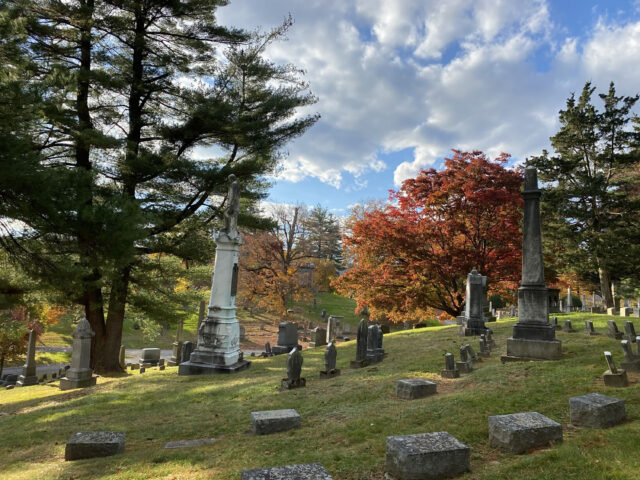
The Poughkeepsie Rural Cemetery (PRC) is a 165-acre historic cemetery and certified arboretum overlooking the Hudson River in Poughkeepsie, New York. Like many historic cemeteries, the site’s data was largely paper-based, and there was a need to bring new technology and best practices into the cemetery’s operations.
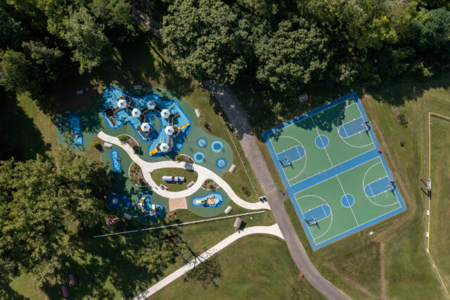
LaBella converted legacy data into a digital format, authored web maps, and created a dynamic web and mobile application to enhance the visitor experience and staff workflows. Our Data Intelligence team worked with our Survey & Mapping group to create a Geographic Information System (GIS) base map of sections, plots, and lots. These were used in conjunction with the cemetery’s historic section maps to identify section and plot numbers. We also utilized drone technology to capture high-resolution aerial imagery to further assist in the mapping and development of the GIS application.
The application is hosted on Esri’s ArcGIS Online platform (a cloud-based mapping software) and built using ArcGIS Experience Builder (a configurable application builder). The application allows users to navigate a walking tour, learn about notable trees, navigate the grounds, and will eventually allow for a burial records search. The public-facing application can be found here. In addition to the public-facing application, LaBella is configuring additional maps and tools for internal use to help the cemetery staff manage the sales process.