Troy Urban Trails
Designing Trails to Connect an Urban City With Cherished Preserved Lands
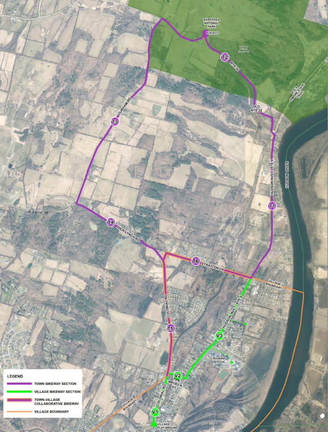
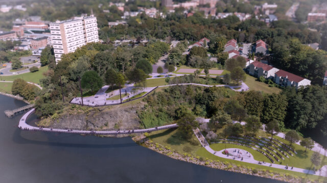
Working with the City of Troy and the Rensselaer Land Trust, LaBella Associates helped develop and market a vision for a new trail network connecting downtown Troy with Wynantskill Creek and various preserved lands meandering along the fringe of the urban core. The proposed trail corridor alignment weaves through a series of stunning waterfalls, wetlands, marshes, naturally significant woodlands, gorges, and historic mill sites.
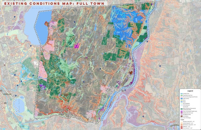
The focus of LaBella’s work included the development of a comprehensive GIS database that included existing environmental features, cultural attributes, wetlands, floodplains, natural ecosystems, and real property data. LaBella’s team of landscape architects, environmental scientists, and structural engineers collaborated to create a feasibility study, design drawings, permitting strategies, and potential project cost projections.
LaBella worked with the community and Land Trust leaders to carefully identify trail alignments that sensitively respond to the existing environmental conditions. Key features of the project included pedestrian bridges, boardwalks, interpretive signage, trailheads, and orientation kiosks.
The Master Plan and construction documents developed for the project provide a useful framework to advance the project from visioning through permitting and to secure funding for phased implementation.


