Village of Port Chester Village-Wide Property Condition Assessment
Mapping Property Conditions for the Whole Village
The Village of Port Chester is just 2.4 square miles but boasts approximately 30,000 residents, making it one of the most densely populated municipalities in the country. In the last decade, the Village has reinvested in the community’s infrastructure, parks, and public spaces primarily in the downtown commercial area. To continue planning for improvements beyond the downtown, the Village wished to conduct a comprehensive inventory and analyses of all properties and property conditions within the Village.
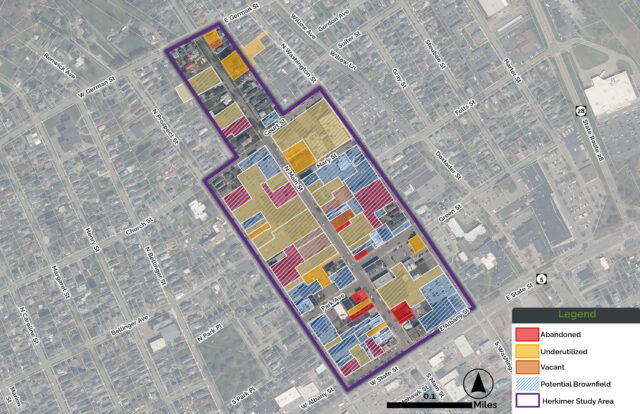
LaBella was hired to conduct the village-wide property inventory and conditions assessment of 5,500 tax parcels and nearly 6,500 total structures. This extensive scope of work included visiting each parcel and often explaining the purpose and goals of the project to the property owners/tenants, sometimes in Spanish. Using ESRI’s Collector GIS Application, we collected inventory information on each parcel and structure. This allowed for a standardized and streamlined execution of the field inventory.
In any large-scale assessment project, it is essential to produce a deliverable that the client can use to accomplish their goals. By utilizing GIS to collect data in this assignment, LaBella was able to create a more standardized and organized data set that the Village was able to use to build visuals and other deliverables. Going forward, the data provided is live and interactive and can be easily updated as capital improvements and investments are made.
