Subsurface Utility Engineering
Talk to a LaBella Expert


SUE Services
Request for Proposals
Complete the form below to submit your request for proposal. Our team will review your project needs and determine how we can best support your SUE objectives.
Reducing Utility Conflicts & Construction Risk
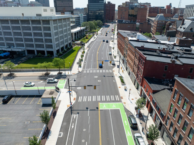
Our engineers and surveyors aim to substantiate the existence, location, and condition of underground utilities during planning and design to provide project teams with a clear understanding of subsurface conditions. This early insight enables routing, coordination, and sequencing decisions that reduce conflicts during construction.
With a clearer understanding of subsurface utilities, project teams can:
- Minimize utility relocations and rework
- Reduce change orders and schedule delays
- Improve bid accuracy and cost predictability
- Reduce excavation risk and protect existing assets
- Reduce contractor claims
When potential conflicts or discrepancies arise, we coordinate with owners and project partners to evaluate options and develop practical solutions that keep the project moving forward.


Subsurface Utility Investigation & Mapping Approach
We employ advanced technologies and proven methods to identify and document utility type and horizontal location, as well as utility depth and size where achievable. These include:
- Electromagnetic (EM) locators
- Ground-penetrating radar (GPR) for structural scanning
- Multi-channel GPR for enhanced subsurface imaging
- Acoustic locators (sondes)
- Traceable rodders
Findings are integrated into detailed mapping deliverables that support design coordination and construction planning. Deliverables are scaled to align with project needs while maintaining a focus on safety, efficiency, and constructability.


Utility Designation Services & ASCE Standards
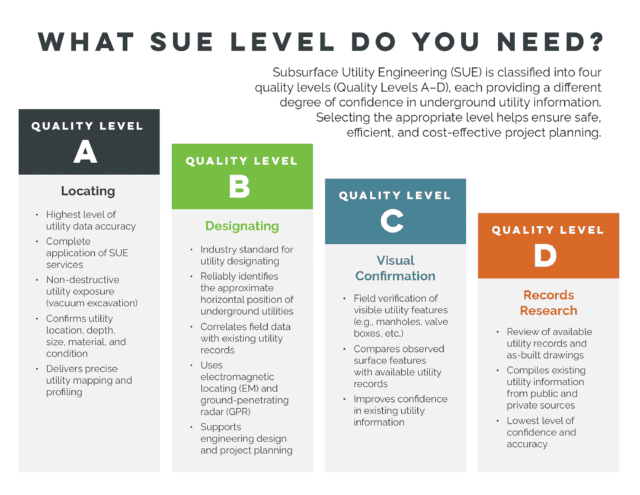
We provide Quality Levels B, C, and D utility location and mapping services in accordance with ASCE 38-22 standards for the collection and documentation of subsurface utility data. We also follow ASCE 75-22 guidelines for recording and exchanging utility infrastructure data to support consistent coordination across project teams.
- Quality Level B (QL-B) – Geophysical Designation
Designation of underground utilities using surface geophysical methods to determine horizontal position and approximate depth. - Quality Level C (QL-C) – Records and Surface Feature Correlation
Correlation of record information with visible above-ground utility features to improve mapping reliability. - Quality Level D (QL-D) – Records Research
Compilation and review of available utility records and as-built plans from utility owners and public sources.
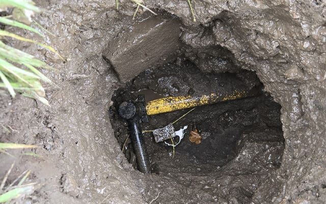
Based on project complexity, risk profile, and budget, we help clients determine the appropriate Quality Level of investigation. When Quality Level A (QL-A) is required, we coordinate with trusted partners for test hole verification.