Dewey Avenue Highway Subsurface Utility Investigations
Reducing Utility Conflict Risk Through Quality Level A and B Investigations
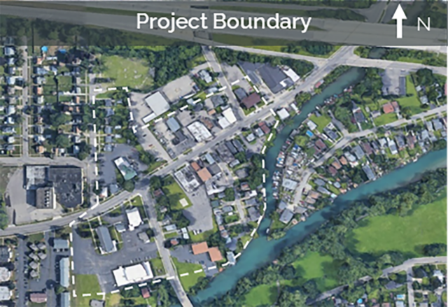
A private utility client engaged LaBella Associates to support gas line redesign efforts associated with a larger infrastructure improvement project along Dewey Avenue and Emerson Street in Rochester, New York. The project includes upgrades to existing underdrain systems, many of which are planned in areas occupied by underground gas mains and service lines. Utility location information is critical to understanding existing subsurface conditions, identifying potential conflicts, and advancing the design.
Quality Level B (QL-B) Utility Investigation
To support engineering and construction planning, LaBella provided Subsurface Utility Engineering (SUE) services to identify, locate, and verify existing underground gas facilities within the project area.
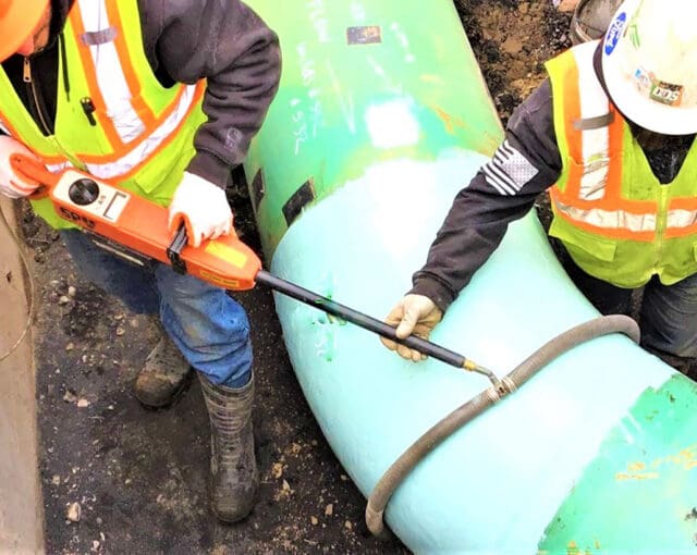
LaBella’s SUE team performed QL-B investigations in accordance with ASCE 38-22 standards using a combination of ground-penetrating radar (GPR) and electromagnetic pipe and cable locating equipment. Field crews focused on locating eight existing gas mains and 54 existing gas service lines that were in potential conflict with proposed underdrain improvements.
The resulting data included horizontal utility locations and depth estimates, providing project stakeholders with a clearer understanding of existing subsurface conditions.
Quality Level A (QL-A) Verification & Design Support
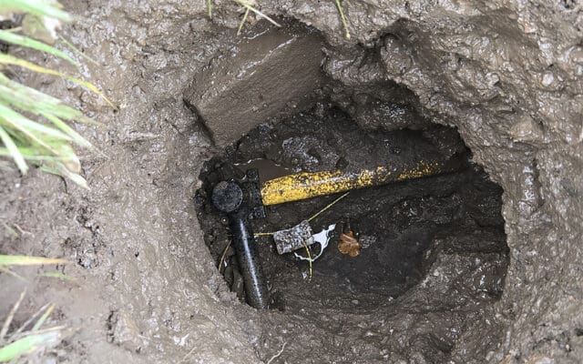
To further reduce uncertainty, LaBella partnered with Badger Daylighting to perform QL-A investigations at key conflict locations. Using vacuum excavation techniques, underground utilities were safely exposed to allow for the collection of survey-grade GPS measurements directly on the facilities.
The success of the QL-A program was driven by the thorough QL-B investigations completed beforehand. By pre-identifying utility locations prior to excavation, the project team was able to focus verification efforts on the areas of greatest potential conflict.
The resulting information provided the project team with the utility data needed to evaluate potential conflicts, reduce uncertainty associated with existing subsurface conditions, and mitigate construction risk.