Wetlands Services


Talk to a LaBella Expert


Request a Free Quote
Request a quote for your wetland services by using our online form.


Our Wetland & Stream Service Capabilities
LaBella offers permitting and compliance services throughout the Eastern US and some Central US regions. From identification of wetland areas to regulatory compliance, our services include the following:Wetland & Stream Assessments, Delineations, & Jurisdictional Determinations
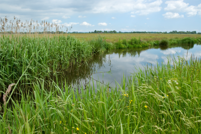
We assess aquatic resources to determine their ecological functions, boundaries, and regulatory status. Using hydrology, soil, and vegetation indicators, LaBella defines wetland and stream boundaries and evaluate their health, biodiversity, and development impacts. We also determine regulatory jurisdiction under the U.S. Army Corps of Engineers, and state and local regulatory agencies. These assessments support environmental permitting, land development, and regulatory compliance.
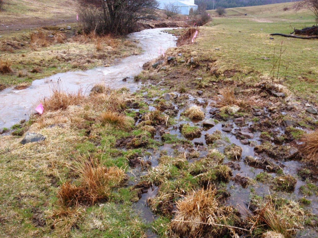
Perennial Flow Determinations
Determining whether a stream or waterway maintains continuous year-round flow is essential for regulatory classification and permitting. LaBella assesses hydrologic, geomorphic, and biological indicators to evaluate flow permanence. Accurate determinations help establish jurisdictional status under the Clean Water Act and inform land use planning, mitigation, and conservation efforts.
Wetland & Stream Reporting & Mapping
LaBella documents and visualizes aquatic resources to support regulatory compliance, permitting, and conservation planning. Our reports provide detailed assessments of wetland and stream conditions, jurisdictional determinations and mitigation efforts. Using GIS and field data, we create precise maps that delineate boundaries, hydrology, and ecological features. These tools enable stakeholders to boundaries, hydrology, and ecological features. These tools enable stakeholders to make informed decisions while ensuring compliance with environmental regulations.
Wetlands & Stream Federal, State, & Local Regulatory Permitting
Our wetland specialists ensure compliance with environmental laws governing aquatic resources. This includes obtaining permits for projects that may impact wetlands and streams, such as development, restoration, or mitigation efforts. We coordinate with agencies like the U.S. Army Corps of Engineers, state environmental departments, and local authorities to meet regulations under the Clean Water Act, state wetlands protection laws, and municipal ordinances. Proper permitting balances development the environmental conservation while preventing regulatory violations.
Wetland & Stream Mitigation, Restoration, & Enhancement Design
We develop strategies to restore habitats, enhance ecosystems, and offset environmental impacts through creation, preservation, and enhancement. LaBella restores wetlands and streams by reestablishing hydrology, vegetation, and wildlife habitat while improving things like biodiversity, nutrient filtration, and enhancing water quality. These efforts ensure regulatory compliance and long-term ecological sustainability.
Wetland Mitigation Site Implementation & Monitoring
We restore and maintain wetlands to meet regulatory requirements and ecological goals. LaBella oversees site preparation, grading, hydrology restoration, and native vegetation planting. Through ongoing monitoring of water levels, vegetation health, and wildlife presence, we ensure project success and adapt management as needed. These efforts support long-term sustainability and regulatory compliance.
Floodplain Permitting
We help projects stay in compliance with local, state, and federal regulations to protect flood-prone areas. This includes assessing project impacts within floodplains, ensuring no increase in flood risk or disruption of water flow. Permitting involves hydrologic modeling, mitigation planning, and adherence to regulations like FEMA’s National Flood Insurance Program, balancing development with flood risk reduction.
GIS Mapping & Analysis
LaBella’s GIS team accurately maps wetland boundaries, hydrology, and ecological features to support environmental planning and compliance. Our GIS analysis helps evaluate impacts throughout the design stages of the project, track changes over time, and ensure adherence to regulatory requirements. These tools provide essential insights for informed decision-making in land development and ecosystem management.
Learn more about our GIS capabilities here.
featured insight
Navigating Changes to New York’s Freshwater Wetlands Regulations
New York State is expanding protections under its Freshwater Wetlands Act starting January 1, 2025—adding more criteria for protected wetlands, increasing buffer zones, and lowering the size threshold, which could add 1 million acres to protected status. This means more permitting and reviews for developers and landowners.
Want to know what this means for your projects? Read the full article for key details, timelines, and how to stay compliant.
Read Article Here

Developing Effective Hazard Plans in 2025
Continue ReadingNavigating Changes to New York’s Freshwater Wetlands Regulations
Continue Reading